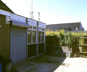
Thurrock
| Pollutant | Band | Concentration | Period | Last updated |
|---|---|---|---|---|
| Nitric oxide (NO) | Not applicable | 5 µg/m3 | hourly mean | 29/03/2026 08:00 |
| Nitrogen dioxide (NO2) | LOW (1) | 22 µg/m3 | hourly mean | 29/03/2026 08:00 |
| Nitrogen oxides as nitrogen dioxide (NOXasNO2) | Not applicable | 30 µg/m3 | hourly mean | 29/03/2026 08:00 |
| Ozone (O3) | LOW (2) | 34 µg/m3 | 8 Hour mean | 29/03/2026 08:00 |
| PM10 particulate matter (Grav Equiv) | LOW (1) | 10 µg/m3 (FIDAS) | 24 Hour mean | 29/03/2026 08:00 |
| PM2.5 particulate matter | LOW (1) | 5 µg/m3 (Ref.eq) | 24 Hour mean | 29/03/2026 08:00 |
| Sulphur dioxide (SO2) | LOW (1) | 1 µg/m3 | 15 Minute mean | 29/03/2026 08:00 |
| Pollutants shown in graph | |
|---|---|
| Parameter | Parameter Name |
| O3 | Ozone |
| NO | Nitric oxide |
| NO2 | Nitrogen dioxide |
| NOXasNO2 | Nitrogen oxides as nitrogen dioxide |
| SO2 | Sulphur dioxide |
| CO | Carbon monoxide |
| PM10 | PM10 Particulate Matter |
| NV10 | Non-volatile PM10 |
| V10 | Volatile PM10 |
| PM2.5 | PM2.5 Particulate Matter |
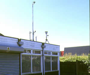
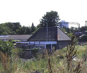
| Site Information | |
|---|---|
| Altitude | 8m |
| Coordinates (Lat/Long) | 51.477070, 0.317969 |
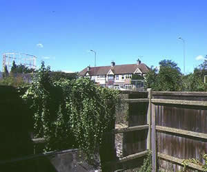
| Environment Type | Urban background: An urban location distanced from sources and therefore broadly representative of city-wide background conditions e.g. urban residential areas. |
| Kerb Distance | Not Available |
| Height | Metres |
| Site Comments | Although this site is not strictly within the Kent and Medway region, it is included on this site for completeness. |
| Parameter | Date Started | Date Ended |
|---|---|---|
| Ozone | 01/09/1996 | - |
| Nitric oxide | 01/09/1996 | - |
| Nitrogen dioxide | 01/09/1996 | - |
| Nitrogen oxides as nitrogen dioxide | 01/09/1996 | - |
| Sulphur dioxide | 01/09/1996 | - |
| Carbon monoxide | 01/09/1996 | 30/09/2007 |
| PM10 particulate matter (Grav Equiv) | 01/09/1996 | - |
| Non-volatile PM10 | 20/03/2009 | 30/10/2018 |
| Volatile PM10 | 20/03/2009 | 30/10/2018 |
| PM2.5 particulate matter | 15/11/2022 | - |