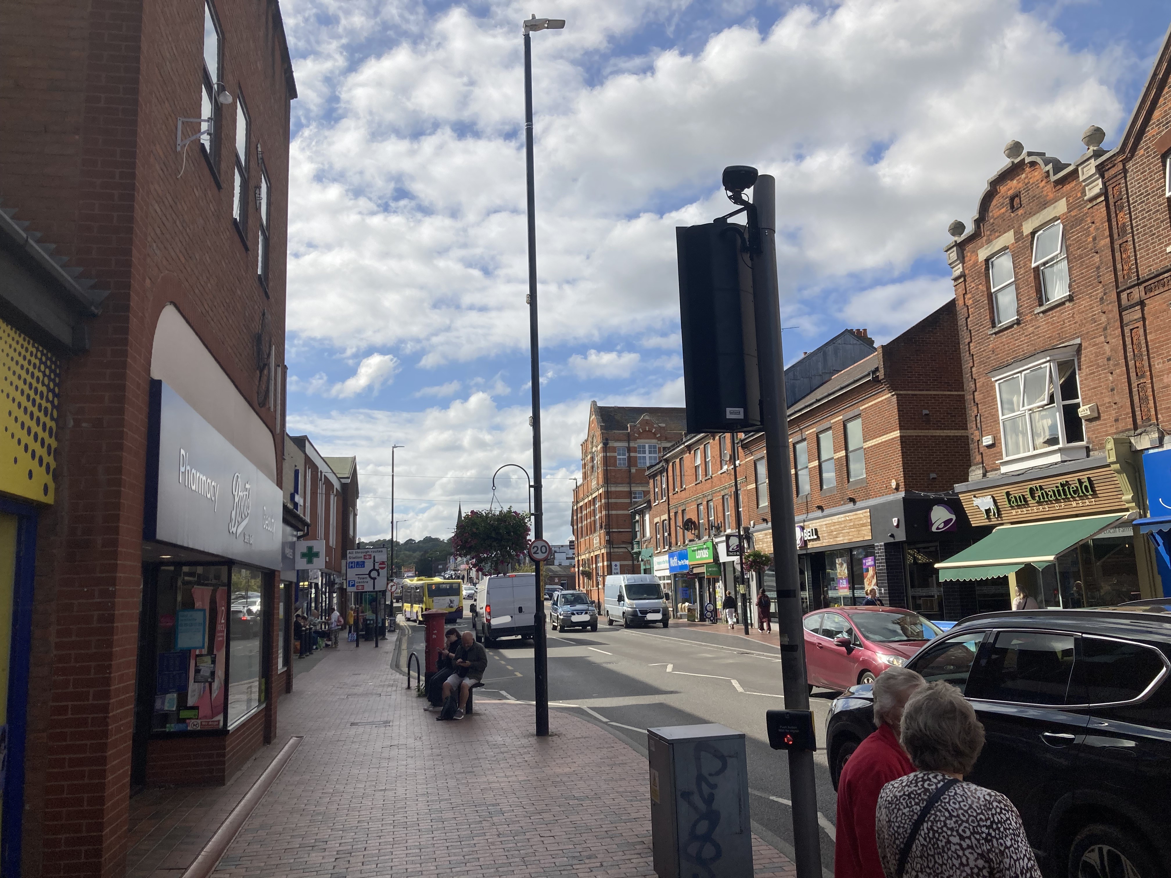
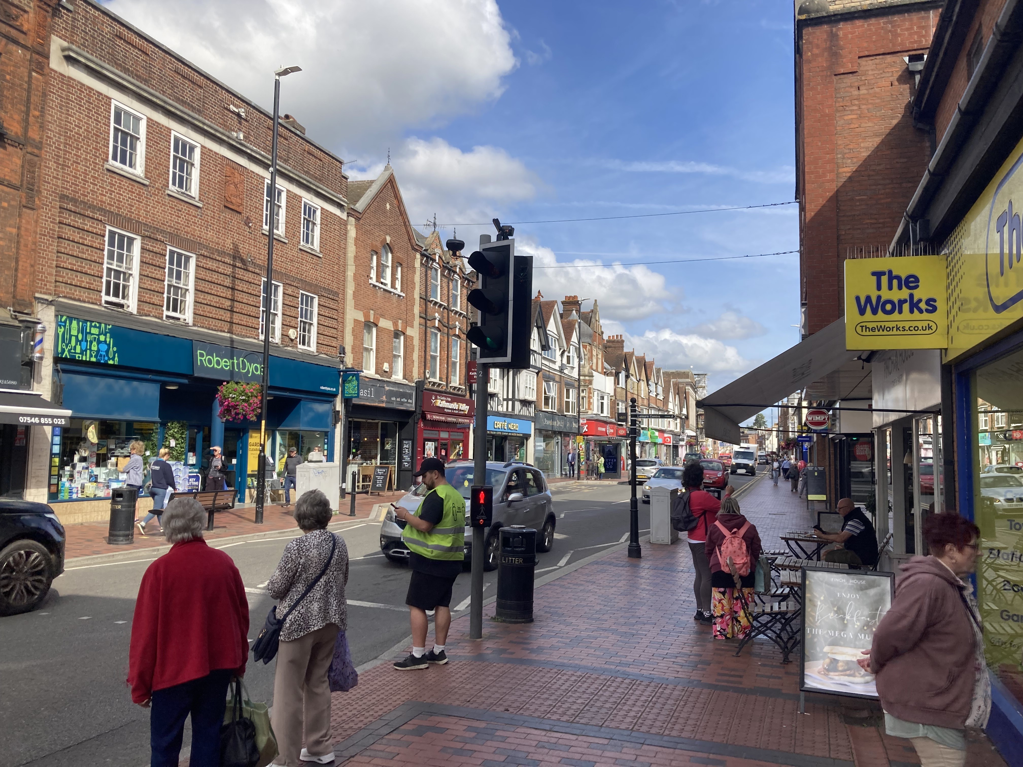
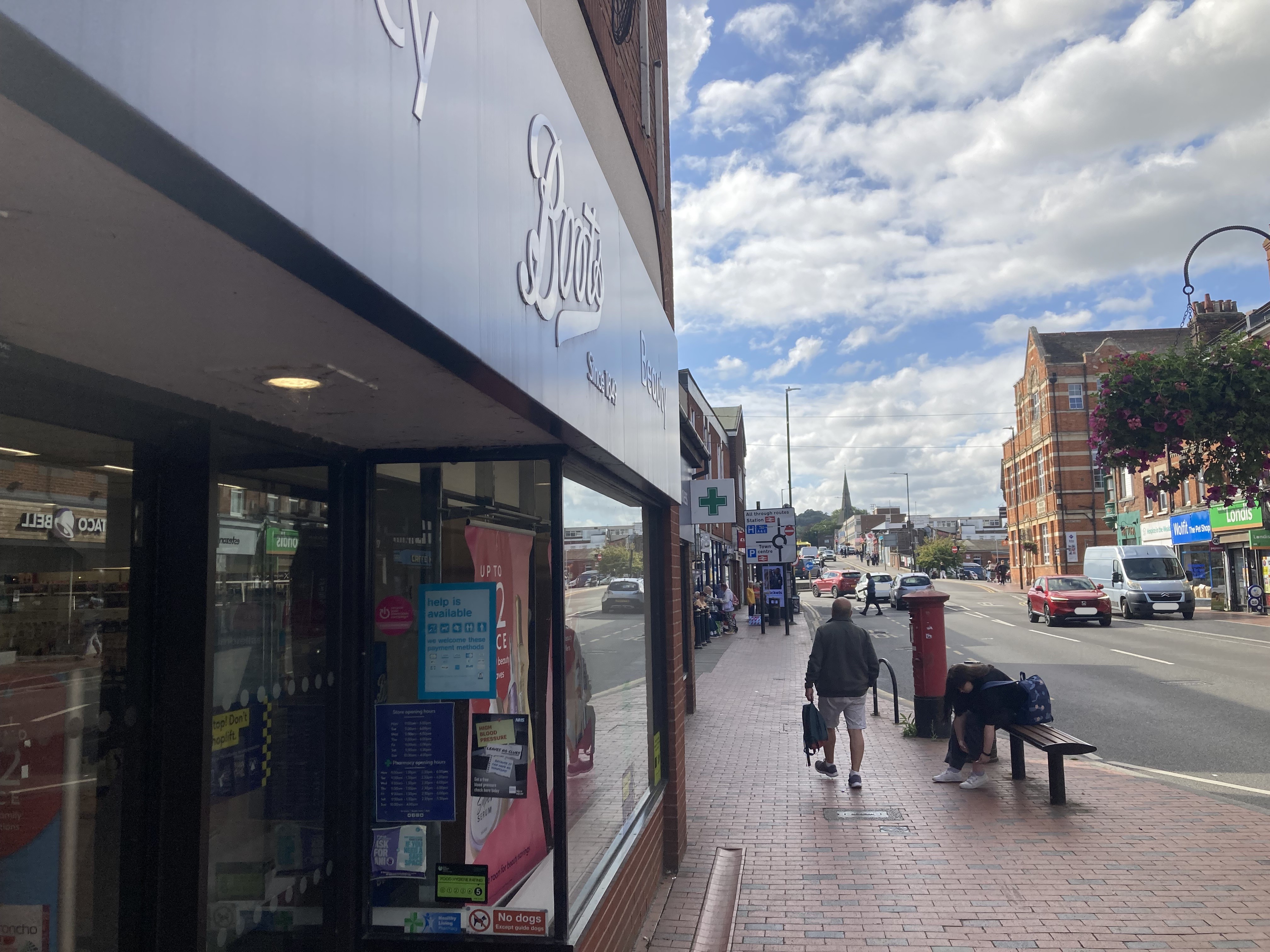
Tonbridge High Street
| Pollutant | Band | Concentration | Period | Last updated |
|---|---|---|---|---|
| Nitric oxide (NO) | Not applicable | 23 µg/m3 | hourly mean | 02/04/2026 16:00 |
| Nitrogen dioxide (NO2) | LOW (1) | 35 µg/m3 | hourly mean | 02/04/2026 16:00 |
| Nitrogen oxides as nitrogen dioxide (NOXasNO2) | Not applicable | 70 µg/m3 | hourly mean | 02/04/2026 16:00 |
| Pollutants shown in graph | |
|---|---|
| Parameter | Parameter Name |
| NO | Nitric oxide |
| NO2 | Nitrogen dioxide |
| NOXasNO2 | Nitrogen oxides as nitrogen dioxide |
| Site Information | |
|---|---|
| Altitude | Not Available |
| Coordinates (Lat/Long) | 51.192977, 0.272772 |
| Environment Type | Roadside: A site sampling between 1m of the kerbside of a busy road and the back of the pavement. Typically this will be within 5m of the road, but could be up to 15m. |
| Kerb Distance | Not Available |
| Height | 6.2 Metres |
| Site Comments | Not Available |
| Parameter | Date Started | Date Ended |
|---|---|---|
| Nitric oxide | 14/07/2022 | - |
| Nitrogen dioxide | 14/07/2022 | - |
| Nitrogen oxides as nitrogen dioxide | 14/07/2022 | - |